Objectives

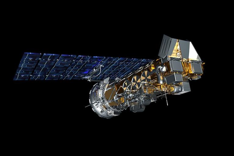
Rendering of a NOAA satellite
NOAA NESDIS Environmental Visualization Laboratory
The Global Space-based Inter-Calibration System develops common methodologies and implements operational procedures to ensure quality and comparability of satellite measurements taken at different times and locations by different instruments operated by various satellite agencies. This entails the following items:
- instruments meet specifications
- pre-launch tests are traceable to SI standards
- on-orbit instrument performance is carefully analysed
- instruments are inter-calibrated against reference instruments
- measurements are validated with reference sites
GSICS current priorities are:
- to perform and deliver operational production of GSICS corrections, initially for infrared channels and thereafter for visible and microwave sensors
- to consolidate the GSICS methodological basis and data management infrastructure, including collaborative data servers and unified web monitoring system
- to enhance user interaction, outreach, expand membership and partnerships
GSICS results are being used for climate data records processing activities, for example the
Sustained Coordinated Processing of Environmental Satellite Data for Climate Monitoring (SCOPE-CM) initiative.
GSICS User Workshops are convened regularly.

